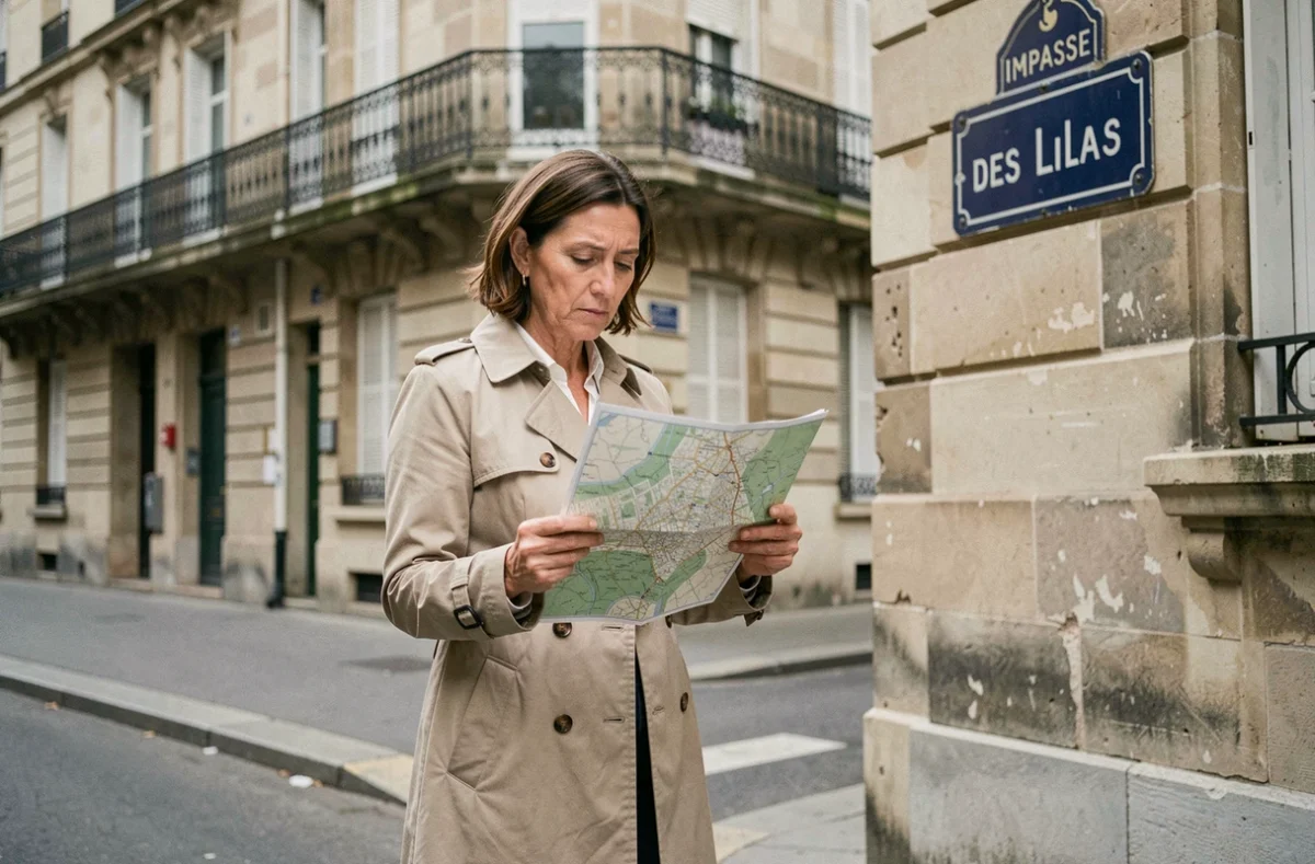
When searching for Impasse des Lilas on a GPS or an online map, several results appear in different municipalities. The problem does not stem from the tool, but from the fact that this street exists in several French cities, each with a distinct access road. Identifying the correct entry requires resolving a geographical ambiguity even before planning a route.
Postal code and municipality: the filter that avoids the wrong city
We’ve all had that reflex: typing “Impasse des Lilas” into a search engine or a geocoder and clicking on the first result. The issue is that this impasse is listed in several French municipalities.
The name alone is never enough. Without a postal code, we risk heading to the wrong city.
To find out which street leads to Impasse des Lilas, we start by confirming the exact municipality and its postal code. This step may seem trivial, but it immediately eliminates the majority of orientation errors.
The street name can also vary from one database to another. Some town halls declare “Impasse des Lilas,” while others use “Imp. des Lilas.” Checking the official spelling in the Base Adresse Nationale (BAN) ensures that we are talking about the same street.
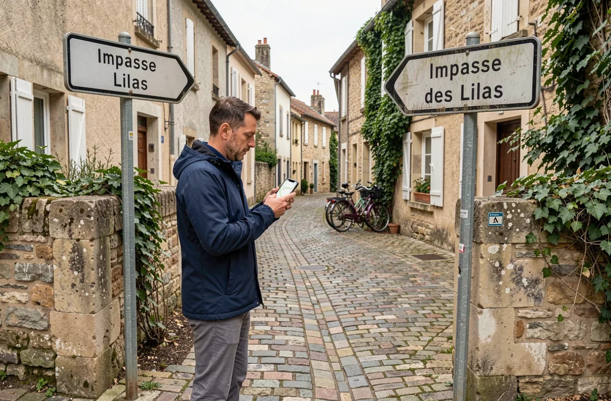
Base Adresse Nationale and geocoder: reliability and limitations of online tools
The BAN centralizes addressing data provided by municipalities. It is the most comprehensive reference for locating a street in France. For example, it includes the Impasse des Lilas in Villeurbanne, along with its geographical coordinates.
A geocoder (Google Maps, the Geoplatform, OpenStreetMap) queries this data to display a point on the map. In theory, this solves the problem. In practice, a geocoder may be slow to reflect a change in addressing. The Geoplatform refreshes its data weekly, but a newly declared street by a municipality may not appear immediately.
When the map and the street sign contradict each other, the ground truth prevails. In this case, a call to the town hall or a question to a neighbor resolves the issue faster than an online search.
Cross-referencing sources to confirm the access street
No single tool guarantees the correct answer. We gain reliability by cross-referencing at least two sources among the following:
- The BAN (accessible on the data.gouv.fr website), which provides the official name and GPS coordinates of the street in each municipality.
- A mapping service (Google Maps, Geoplatform) in satellite view mode, to visually locate the entrance of the impasse and the street leading to it.
- The municipal cadastre or local urban planning plan, available at the town hall, which shows the parcel layout and exact access roads.
Impasse des Lilas does not have the same entry street depending on the municipality. In Villeurbanne, it opens onto a street in a dense urban fabric. In other municipalities, the context may be more rural. Confusing the two literally leads to a dead end, in the wrong place.
Field identification: what a map doesn’t always show
Impasses named after flowers are often found in residential developments. These neighborhoods share a common characteristic: the internal roads look similar, and signage is sometimes absent or degraded.
On the ground, we first look for the sign of the main street that serves the impasse. If the development has multiple entrances, only one actually leads to Impasse des Lilas, while the others serve different streets (Impasse des Roses, Allée des Acacias, etc.).
Practical method when the GPS hesitates
The GPS may place the cursor at the geometric center of the impasse, not at its entrance. The result: we end up going around in circles in the adjacent streets. Here’s what works on the ground:
- Switch to satellite view on the phone and look for the characteristic “T” or “U” shape of an impasse, then identify the street that connects to it.
- Note the number of the last house on the access street before the impasse: it’s a more reliable visual marker than a street name that may be absent from the sign.
- If delivering a package or responding to an emergency, ask the recipient for the name of the access street, not just the name of the impasse. This information alone avoids most errors.
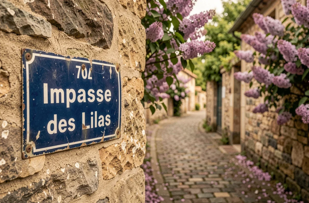
Postal addressing: writing correctly to avoid confusion
Ambiguity does not only arise from navigation. It often starts when writing the address. An online form that only mentions “Impasse des Lilas” without specifying the municipality or the access street creates a blur that can be exploited by postal sorting errors.
For a complete and usable address, we indicate the access street when the impasse depends on it administratively. Some municipalities attach the impasse to a parent street in their addressing system. Mentioning this parent street in the address facilitates the work of postal and emergency services.
In case of doubt about the administrative attachment, the town hall remains the most reliable source. Urban planning service agents know the road plan and can confirm which access corresponds to which impasse, especially in recent developments where online databases have not yet caught up with the reality on the ground.
Impasse des Lilas, like many similarly named streets in France, does not exist in a geographical void. Its location depends on a municipality, a postal code, and a specific access street. Verifying these three elements before traveling makes the difference between arriving at the destination and turning into the wrong development.